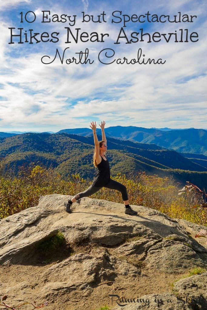
Curious about the best hikes near Asheville NC? Whether you are looking for a summit hike with a view along the Blue Ridge Parkway or an epic waterfall to splash in, here are 10 of the best easy hikes near Asheville with a HUGE payoff. You will love these spectacular North Carolina hiking trails that are all quick day trips from downtown.
Best Hikes Near Asheville NC
Asheville is a magical place. It has a vibrant and thriving downtown with innovative food and breweries but some would say the true enchantment lands beyond downtown and the gorgeous mountains that cradle the city. The nearby Blue Ridge Mountains are filled with over 3000+ miles of free, public hiking within driving distance from downtown. The list of best hikes near Asheville NC is simply endless.
You can take a quick drive down the Blue Ridge Parkway and reach gorgeous summits or drive to the Pisgah National Forest or Dupont State Park and easily frolic in waterfalls. There is even a special spot where you can walk BEHIND a waterfall. I've lived here for almost 18 years and am just beginning to scratch the surface of all the wonderful hikes you can do.
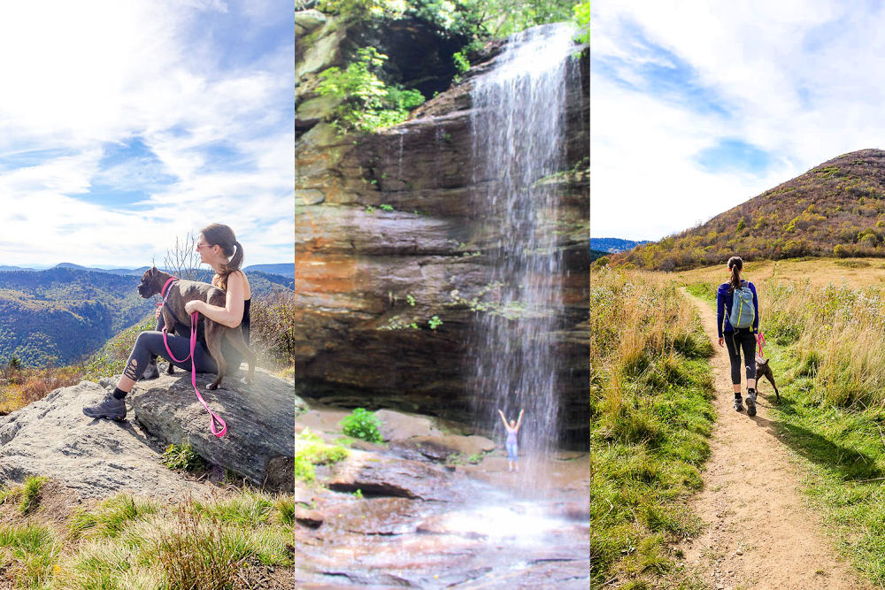
With so many hikes to choose from though it can be hard to know where to start. Here are 10 of my favorite relatively easy hikes that are within an hour and a half drive of downtown Asheville that would be perfect for a day trip from downtown. I picked these hikes because they might not be that hard BUT have a pretty epic payoff at the end of a spectacular view or gorgeous waterfall.
All of these hikes are perfect for beginner to intermediate hikers.
Best Easy Hikes Near Asheville, NC with a Huge Payoff! Share on X
10 Easy but Spectacular Hikes Near Asheville North Carolina
Craggy Pinnacle
Craggy Pinnacle is the perfect hike if you don't want to stray far from downtown Asheville. It's only 24 miles from downtown (about 45 minutes) and is a quick 1.4-mile roundtrip hike. The trail is very well maintained and fairly easy. In June you can even see it blanketed with wild blooming rhododendrons that in places nearly make a pink flower tunnel.
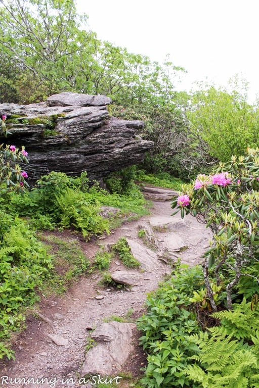
The hike gains 252 feet elevation and at the top, you get this gorgeous 360-degree view of Western North Carolina in all its glory. If someone asks me for the best hikes near Asheville NC this is the first one I tell them about because of these views.
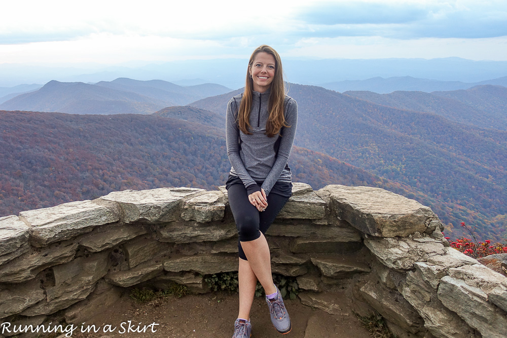
You can easily do this a half-day from Asheville. Take a picnic and eat at the nearby Craggy Gardens.
More on Craggy Pinnacle including photos of the trail:
Craggy Pinnacle Directions: Drive north along the Blue Ridge Parkway until you reach Milepost 364.4. It's about 18 miles north of the Folk Art Center on the Parkway. There is a large easy to find parking lot.
Black Balsam
The Black Balsam hike takes you to another world where tree-less mountains lend way to panoramic 360 degrees views. The mountain tops above 6,000 feet are bald with lines of evergreens off in the distance. It instantly gives you a feeling of being in New England.
This hike is about 26 miles from Asheville (about an hour) and has several different distances. You can go anywhere from a half-mile to reach the first bald to 5 miles or more connecting to the Art Loeb Trail.
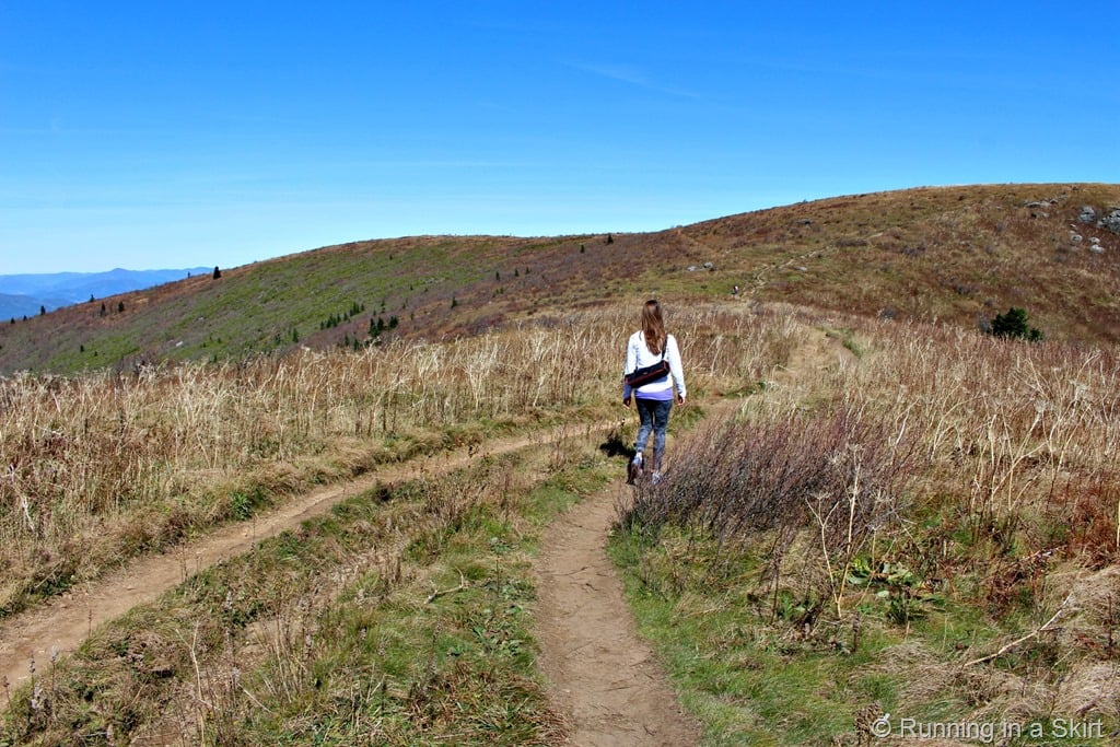
The hike is fairly easy and has a huge payoff of reaching 6,214 feet which is one of the highest peaks in the area.
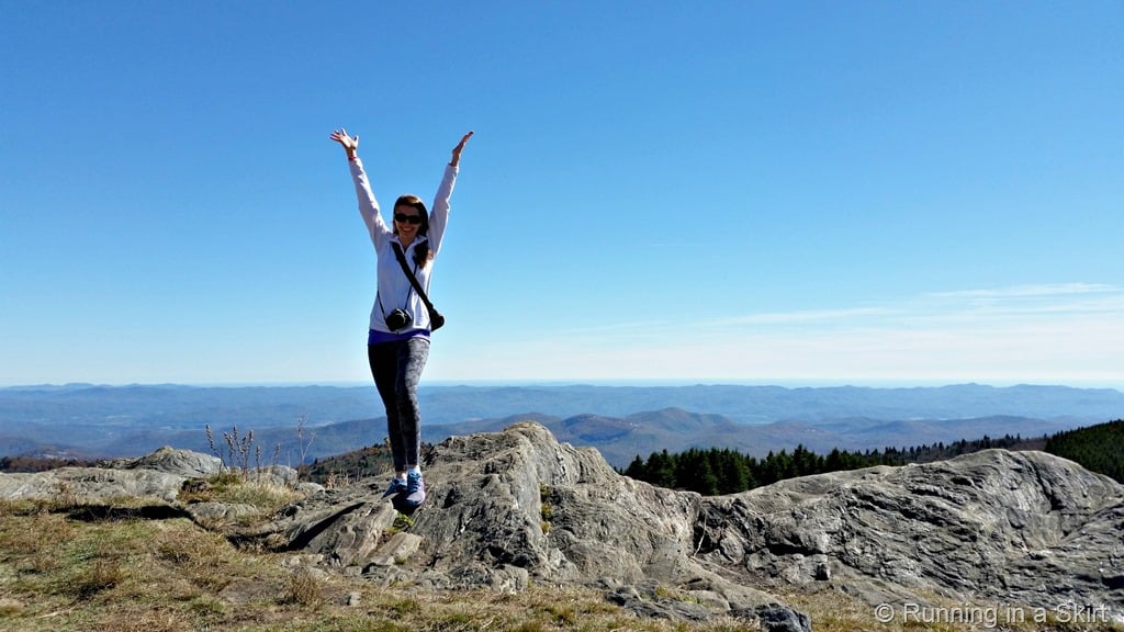
Here's more about a 3-mile hike at Black Balsam including directions and trail photos:
Directions from Asheville: Head south on the Blue Ridge Parkway. The trail is just off the Parkway near milepost 420. Look for the Black Balsam sign just south of Graveyard Fields and north of Devil's Courthouse. Drive about 7/10 of a mile down the road and look for the trail on the right. Park along the road (there will most likely be other cars) and look for the Mountains to Sea Trail marker. It is pretty easy to find.
Sam Knob
Sam Knob is one of my favorite hikes in Asheville. It's about 26 miles (about an hour) from Asheville and reaches an elevation of 6,045 feet. The entire hike is only 2.2 miles and gains 570 feet but you get to go to the top of that summit and see some breathtaking views. If you are looking for one of the best hikes near Asheville NC- this is it!
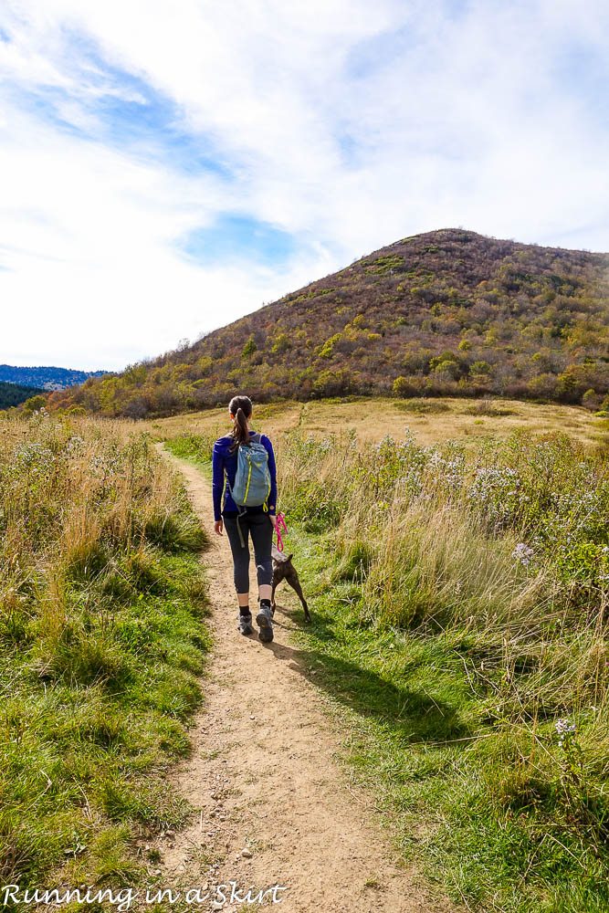
It does have some rocky spots to climb at the end but part of the path also looks like this. Much of the hike climbs around the mountain you see here so the trip to the top is more gradual than you might think.
The payoff is huge and is the ideal photo taking place.
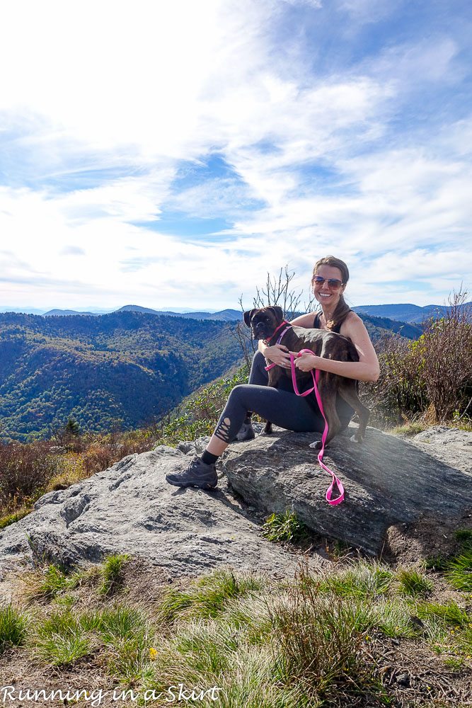
Take a picnic lunch to enjoy the top and make a day out of it. If you are looking for more adventure you can also do the nearby Black Balsam, Frying Pan Tower, or Devil's Courthouse. You can also stop at the Pisgah Inn on the way back down for lunch or an early dinner.
More on Sam Knob including hike details and photos of the trail:
Directions from Asheville: Drive south along the Blue Ridge Parkway for 26.5 miles past the NC Arboretum. Just past milepost 420 turn right on FR 8216 (Black Balsam Road.) Follow the road about a mile until it ends in a parking lot. The trailhead is right there.
Frying Pan Tower Hike
The Frying Pan Tower Hike is about 22 miles from Asheville and takes about 45 minutes to get there. This 1.5-mile easy hike (much of it is on old service roads) is much less strenuous than the popular Mount Pisgah hike AND has better views. The hike takes you to this historic fire tower that was used to watch for fires in the area up until the early 1990's.
You get to climb almost to the top (the very top platform is closed to visitors) of the fire tower to take in the views.
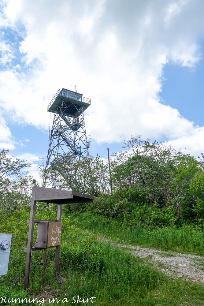
From the top, you get panoramic views of Cold Mountain and Mount Pisgah. It's a fun and relatively easy adventure with a huge payoff.
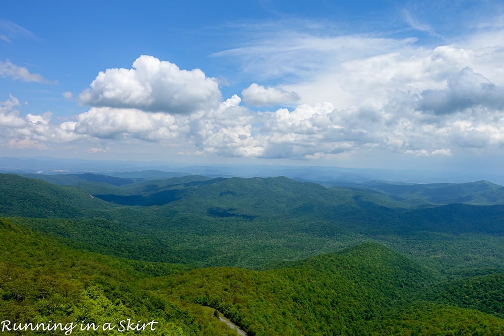
This is an easy half-day adventure from Asheville or makes a day out of it and combine it with nearby Sam's Knob, Black Balsam, or Devil's Courthouse all of which are on this list.
More on the Frying Pan Tower Hike:
Directions from Asheville: Head south on the Blue Ridge Parkway to Milepost 409.6. You can park at th entrance to the Forest Service Road 450. There is a closed gate but you can walk around it. Walk up the gravel road to reach the Frying Pan Tower.
Bearwallow Mountain
Bearwallow Mountain is an easy hike close to town that's NOT on the Parkway. It's actually on the way to Chimney Rock and Lake Lure if you are heading in that direction. It's just 19 miles from downtown Asheville.
The one-mile trail goes to a gorgeous bald summit with panoramic views at nearly 4,232 feet. You can take this trail back down OR follow the service road back down for a fairly easy 2-mile round trip hike that gains 537 feet. This is a great hike in the winter because it's at a slightly lower elevation and generally stays open.
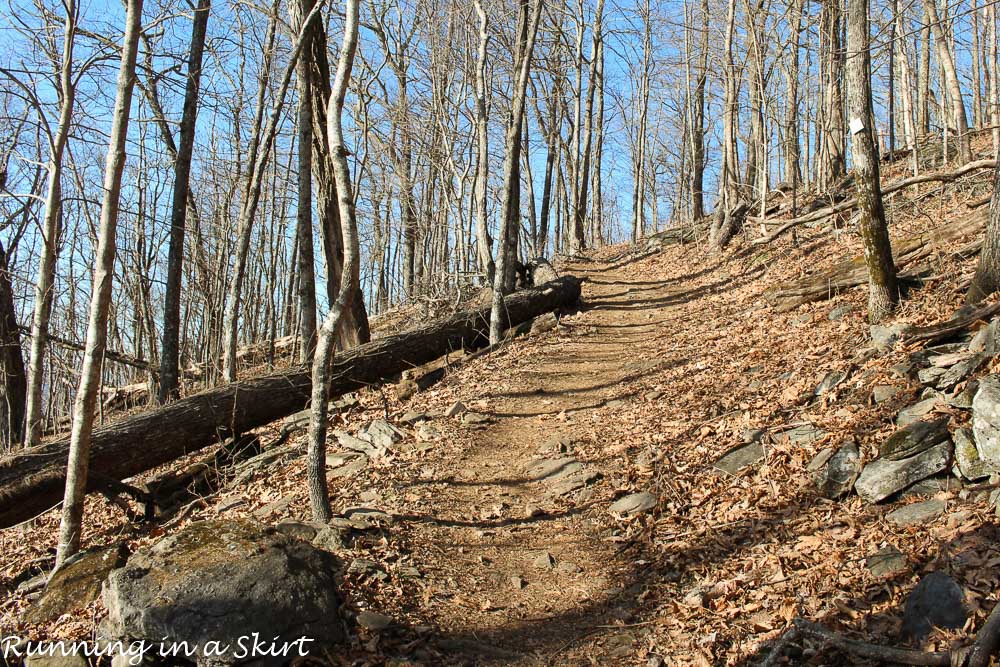
In the summer cows graze at the top of the bald and it's a great place to take a picnic or even watch the sunset.
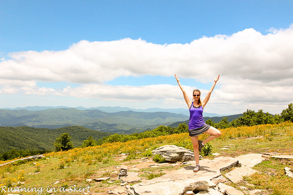
This is a great half-day hike! Combine it with a trip to nearby Hickory Nut Gap Farms or Looking Glass Creamery.
More Photos & Details About Bearwallow Mountain:
Directions: Take I-240 East and continue onto US Hwy. 74-A East toward Chimney Rock. Keep on 74-A East for about 12.5 miles along the curvy road until you reach the town of Gerton (there are signs.) Turn right on Bearwallow Mountain Road and go 2.1 miles to the top of the ridge. Park on the side of the road near the gate but don't block the gate. Bearwallow Mountain Road continues down the mountain and eventually takes you to US 64 near Hendersonville.
Max Patch Hike
If you need a hike almost anyone can do, Max Patch is it! I'd say this is the easiest hike in the mountains that actually feels like a hike. This really is one of the best hikes near Asheville NC. It's a gently slopped short hike that leads to some spectacular views. The hike to reach the mountain is a simple 1.4 mile loop and you have the option to include a 2.4 mile loop that is slightly more challenging and circles the mountain. If you have mobility issues I'd follow the path to the top of the mountain and then turn around and go back the way you came to get down because the second half of the loop does have some stairs.
The hike starts deep in the Pisgah National Forest near Hot Springs and is actually part of the Appalachian Trail.
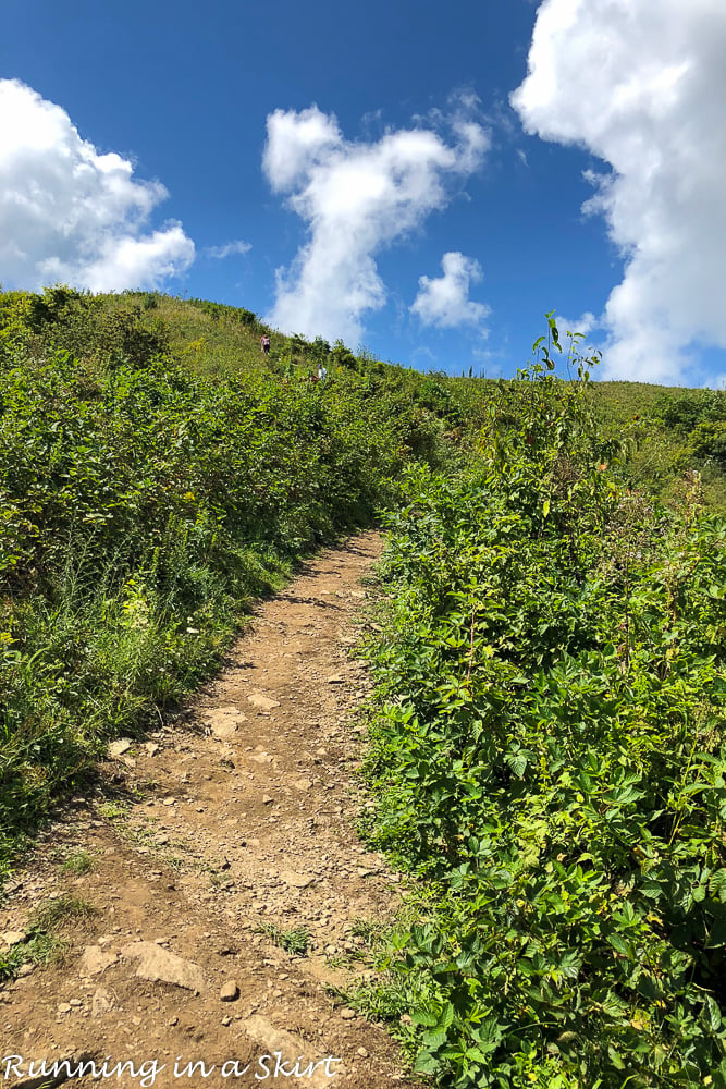
I did this hike 26 weeks pregnant with twins without trouble. From the top, you have 360-degree views of everything from Mt. Mitchell to the Great Smokey Mountains.
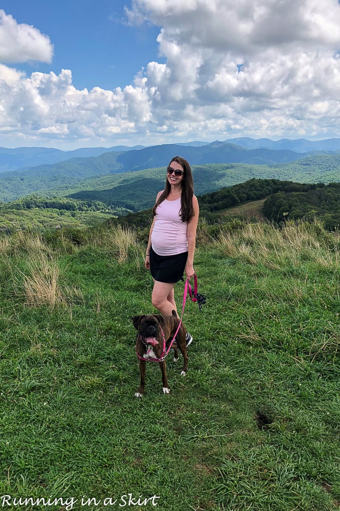
The top of the mountain is a great place to bring a blanket and picnic lunch. It's a lovely place to spend the afternoon and also a great place to watch the sunset weather permitting. You could also combine this hike with a trip to nearby Hot Springs.
More details and photos of the Max Patch Hike:
Directions from Downtown Asheville: From I-40 and Asheville follow I-40 West about 40 miles to Harmon's Den.... exit 7. Take a right on Cold Springs Road. From there the road quickly turns to gravel. The road is well-graded and climbs steadily for a very long 6.2 miles to SR-1182 (Max Patch Road). Turn left and drive 1.5 miles to the Max Patch parking area on the right.
Devil's Courthouse
Devil's Courthouse is another great hike along the Blue Ridge Parkway. It's about 26 miles from downtown Asheville at mile marker 422.4 and past Black Balsam and Sam Knob.
The hike a much shorter one... only a 1-mile round trip but has a nearly 600 feet elevation gain in that half of a mile to the top making it a bit strenuous. Most of the path is actually paved but there are a few sections at the top that look like this.
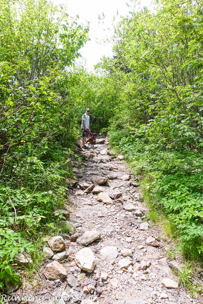
The peak reaches over 5,750 feet and has simply breathtaking views. If you are looking for a lot of BANG for your hiking time, this is it! On a clear day, you can see North Carolina, South Carolina, Georgia, and Tennessee.
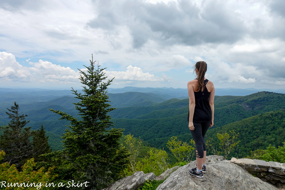
This shorter hike is great for those who may not have a lot of time or want to do the longer distance hikes.
More on the Devil's Courthouse Hike:
Directions from Downtown Asheville: The hike is along the Blue Ridge Parkway at milepost 422.4. You head south on the Blue Ridge Parkway and it's 26 miles from NC 191, which is the NC Arboretum exit. There is a large parking lot. It takes about an hour to get there.
Dupont State Forest Waterfall Hike
If you love waterfalls, Dupont State Forest is a place you must hike. It's a bit further from Asheville (about a 40-mile drive) BUT when you get there you can easily see the perfect combination of three waterfalls in a not too challenging three-mile hike. This stunning walk is another one of the best hikes near Asheville NC.
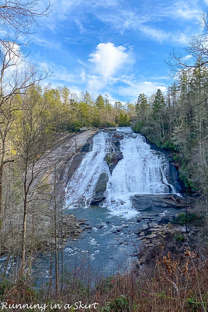 The three-mile hike takes you to Hooker Falls, Triple Falls, AND High Falls which just so happen to be some of the prettiest waterfalls in the region. High Falls tumbles a dramatic 150 feet and Triple Falls is a unique triple-tiered waterfall. The area was featured in the Hunger Games movies.
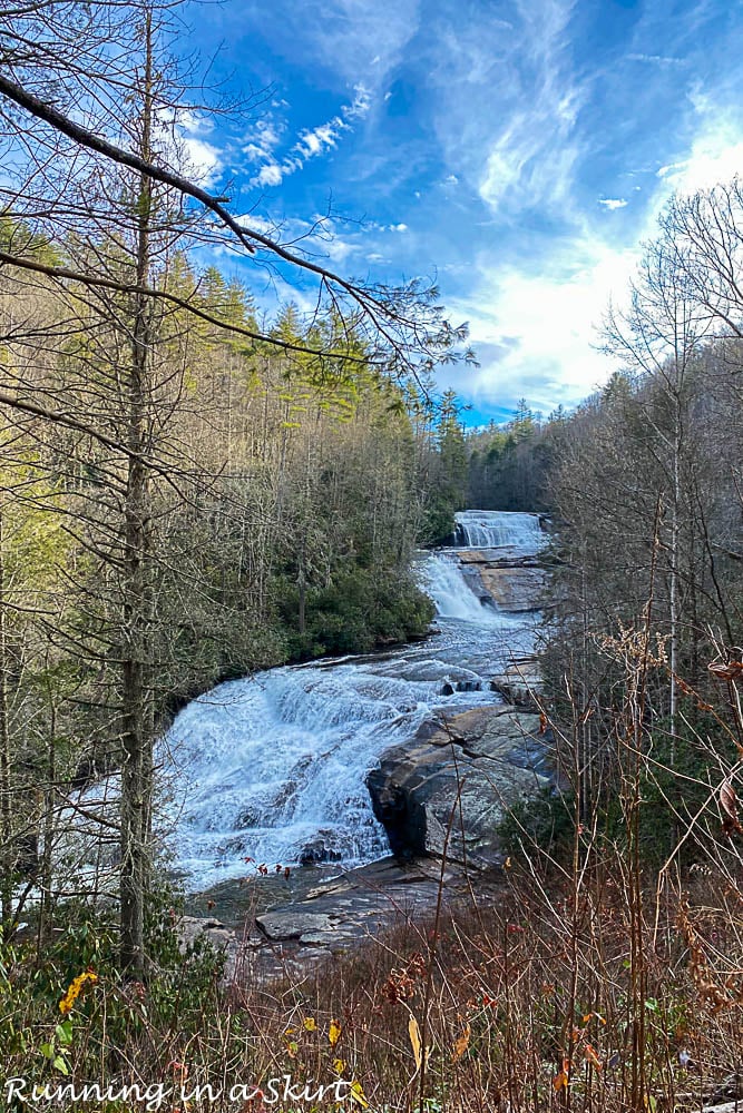
You can extend the trip to a strenuous 7-mile hike to see Bridal Veil Falls too if you like harder hikes.
Hooker Falls also has a nice swimming area at the bottom of it that's perfect for a hot summer day. Bring a lunch to make a day of it. This area is very popular so expect crowds especially on hot summer weekends. I actually like to visit this area on days on winter days when it's a bit cooler. You can combine seeing Dupont State Forest and the lower parts of the Pisgah National Forest near Brevard in a day.
More on Dupont State Forecast Waterfall Hike:
Directions from Downtown Asheville: Head East on I-26 East to exit 40 (Highway 280/Airport Road) toward Brevard. Take a right on 280 and keep driving about 16 miles. You'll drive into Brevard. Turn left at US-64 past the Walmart. Go East on US-64 for 3.7 miles. Turn right on Crab Creek Roast and keep driving about 4.3 miles until you hit Dupont Road. The parking area for Hooker Falls is about 3.1 miles down the road. The parking area for High Falls and Triple Falls is just past that. Parking can get crowded on busy weekend days.
Log Hollow Falls
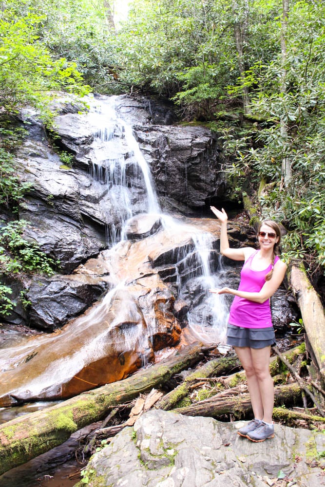
Log Hollow Falls is a great little 25-foot waterfall hidden within the Pisgah National Forest. It's about a 40-mile drive from downtown Asheville. It's past the popular Looking Glass Falls and is a great add-on to your visit to the park and is generally not that crowded. If you keep hiking about a quarter-mile past Log Hollow you can also see Kissing Falls.
I added it to my list because it's great for anybody who wants to try a hike but has mobility issues. It's still a hike but most of it is actually along an old service road that's closed to vehicles making it easier to walk on than some hikes. Since it's a road it's also more gently sloped and doesn't have steps. Much of the hike looks like this and is only a mile round trip.
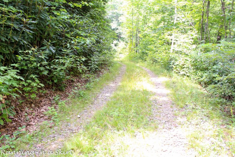
This waterfall isn't as flashy as some of the others but if you truly need an EASY hike, this is it!
You could easily combine this hike with others in the Pisgah National Forest including Moore Cove Falls or the Dupont State Forest.
More Details on the Log Hollow Falls Hike:
Directions from Asheville: Head East on I-26 East to exit 40 (Highway 280/Airport Road) toward Brevard. Take a right on 280 and keep driving about 16 miles. You'll drive into Brevard. To get to Log Hollow Falls start at the intersection of 64 (heading to Brevard) and 276. Drive North heading towards the Blue Ridge Parkway. From the Pisgah Forest, the stone entrance goes 10.5 miles. Turn left on FR 45B and go 1.6 miles until you reach a sharp left turn. At that turn, to the right, you will see the Forest Service Management sign and gated Forest Service Road 5043.
Moore Cove Falls
Moore Cove Falls is a magical place! This 50-foot waterfall is one you can actually walk behind. It's a total gem of a hike and one of the best hikes near Asheville NC.
The hike is about 40 miles from Asheville and also in the Pisgah National Forest near the popular driveway Looking Glass Glass. The entire hike is about 1.5 miles and is generally easy. It has a few steps but no really steep sections making it great for families.
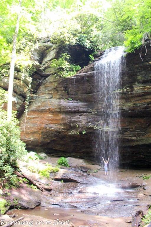
The hike is a really pretty walk going over several wooden bridges and a lush hardwood forest. The vegetation in this area in the summer is gorgeous.
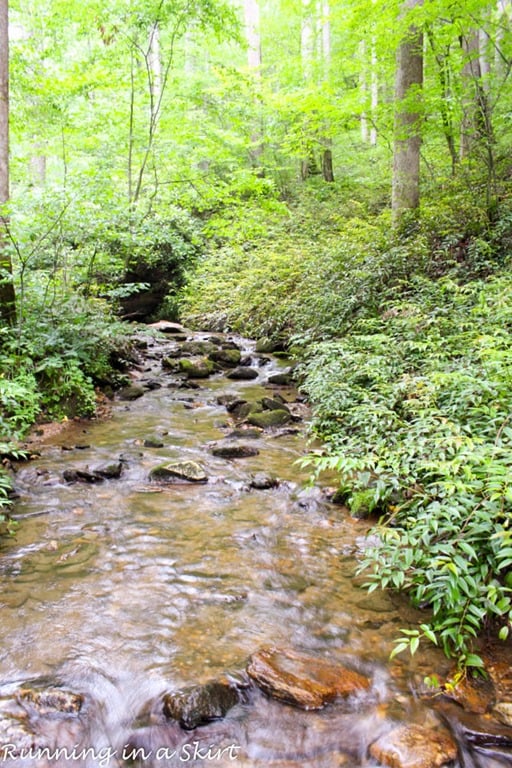
This hike can get busy on hot summer weekends, so plan accordingly. Make a day out of it by also going to Du Pont State Forest or Log Hollow Falls. The waterfall is most dramatic after rainy spells and if it's really dry it can slow to a trickle.
More on the Moore Cove Falls Hike:
Directions from Asheville: Head East on I-26 East to exit 40 (Highway 280/Airport Road) toward Brevard. Take a right on 280 and keep driving about 16 miles. You'll drive into Brevard. To get to Moore Cove Falls start at the intersection of 64 (heading to Brevard) and 276. Drive North on 276 heading towards the Blue Ridge Parkway. From the Pisgah Forest stone entrance, the parking area is 6.5 miles. Look for a wooden sign. The parking area is before you reach a stone bridge.
Other Best Hikes in Asheville NC
Asheville is just filled to the brim with lovely hiking locations. These are just a few of them and I'm sure many of you have other favorites too. Please feel free to share them in the comments below.
If you want to read more about my hiking adventures, check out this page on my site.
Also hiking inherently has some risks, so please be careful, check the weather and do lots of research before you head out the door. Here are some other Asheville hiking tips to do these adventures.
Asheville Hiking Tips:
- Remember it can be 10-20+ degrees colder and windier at the higher elevations and the weather can change quickly. Always check the weather and take the appropriate clothes with you. Often even in the summer, you will need a sweater at the higher elevations.
- Parts of the Parkway close in the winter so make check that the road is open before heading out. Check out the real-time road closures site from the National Park Service before you go.
- The speed limit along the Blue Ridge Parkway is only 45 miles an hour and you will get behind drivers going slower than that especially in the fall. It often takes longer than you might expect to drive a certain distance on the parkway.
- Most summers there are reports of hikers trying to climb to the top of waterfalls who get injured or even killed. The waterfalls I mentioned are safe to hike to and enjoy, just be careful to enjoy them from the bottom and don't attempt to climb to the top.
With that said, there are some amazing adventures to be had in Asheville! I hope you will give some of these best hikes near Asheville NC a try.
Best Easy Hikes Near Asheville, NC with a Huge Payoff! Share on X
Pin for later...


Marina says
Such a stunning place I do really hope to visit one day.
Marta says
Haven't been to Asheville yet, but, you've sure made want to hit the road right now!
Amber Myers says
All of these hikes sound incredible. If I'm ever in this area, I will have to go on some for sure.
Mimi says
They all look so beautiful, I've been loving hiking lately!