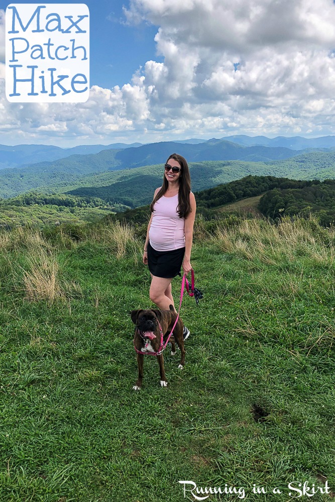
The Max Patch Hike is short with big views! This easy hike near Asheville, NC is gently sloped and one that most people can do. The payoff is huge with epic views and the perfect picnic spots.
Hi guys!
When my friends came to visit on Labor Day for my aviation-themed baby shower I really wanted to get everyone on a trail to see some of the gorgeous mountains around Asheville and the Max Patch HIke was perfect.
I was 26 weeks pregnant with the twins at the time and my good friend Rebecca was only a few weeks behind me so I knew I needed to find a path that was on the easier side. For years I'd heard how pretty the views are at Max Patch, so we decided to make the journey to Madison County. Since it's finally almost spring and warmer weather just around the corner I thought I'd share this hike with you now. Go ahead and add this to your spring and summer bucket list!
Max Patch Hike
Turns out the drive to get to the Max Patch hike and parking was the trickiest part of the whole day. GPS wasn't very reliable and we followed a winding gravel road for about 6 miles to reach the spot. Several times I stopped our two-car convoy because I was convinced it couldn't be THAT far... but it was!
Luckily we finally reached the trailhead. The parking at the bottom was packed, but we did find a spot.
The mini Max Patch Hike starts deep in the Pisgah National Forest near Hot Springs. It's actually part of the Appalachian Trail. The road to get there is not marked well at all, but once you do arrive it's pretty easy to know you are in the right spot. There is a big sign that shows the two hike options... a 1.4-mile loop that crosses the summit and a 2.4-mile loop that circles the mountain.
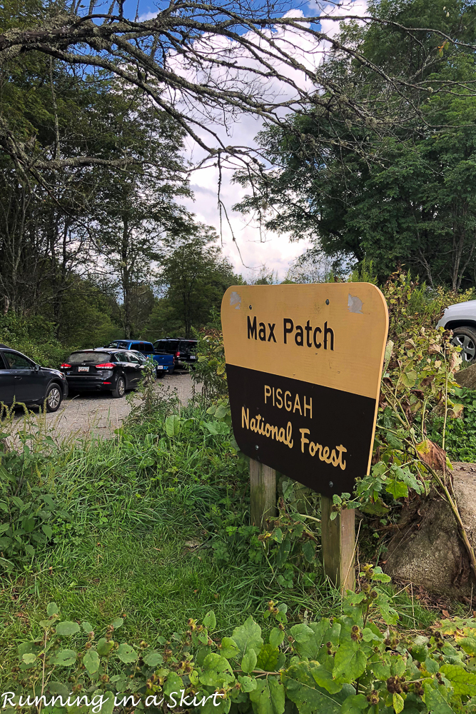
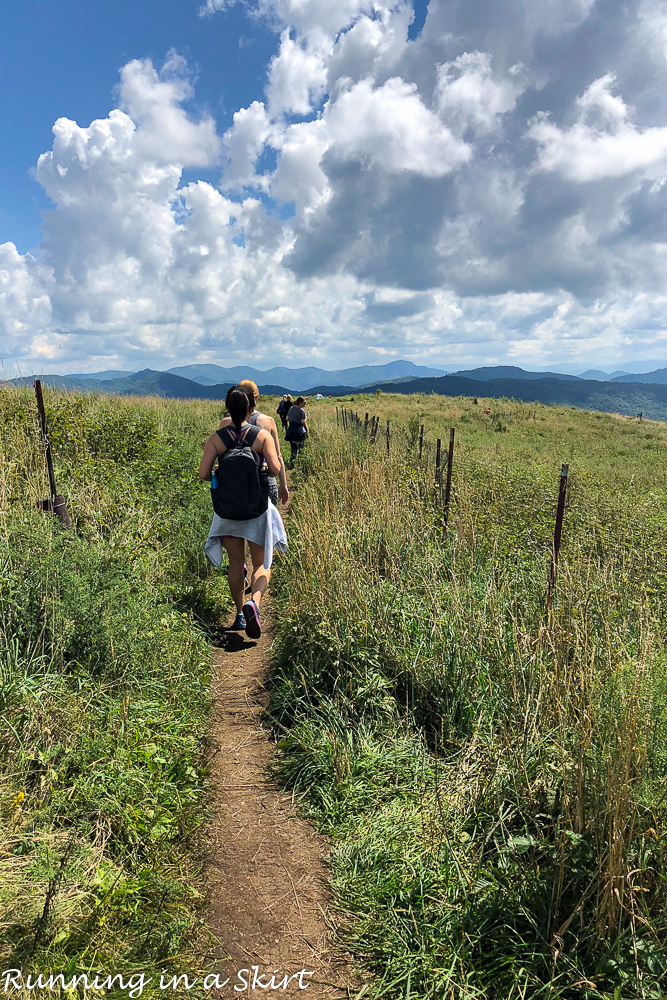
Since I was so preggo, we opted for the shorter hike with the views. We started by going left at the sign taking the easier way up. The path was well worn and slightly inclined but not hard at all. Even kids could do it!
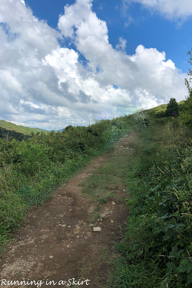
After a short walk, we reached the summit and the views were everything I'd dreamed of. It was a busy holiday weekend, so the top was crowded with folks who were camping and brought picnics. I'd definitely recommend bringing a blanket, food, and drinks to enjoy your time at the top.
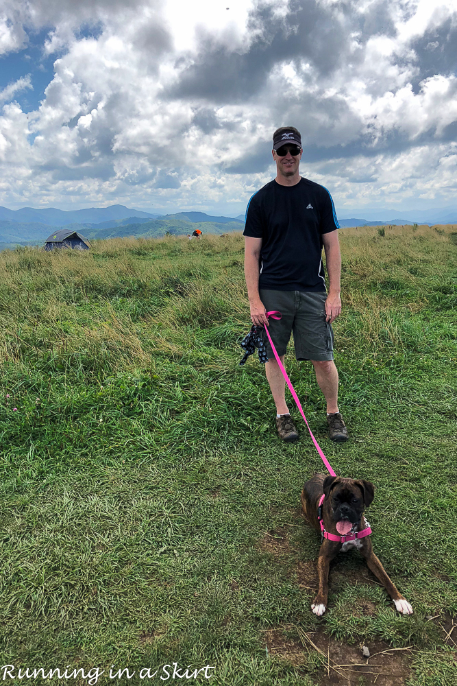
From the top, there were 360-degree views where we could see everything from Mt. Mitchell to the Great Smoky Mountains. The mountain has been cleared on the top, so the views are unlike many other peaks you reach.
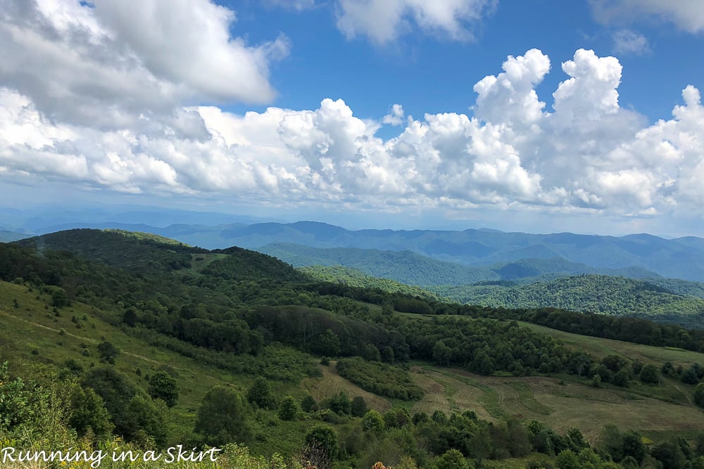
The Max Patch Hike takes you to about 4,600 feet where the air is cooler and the skies are so pretty.
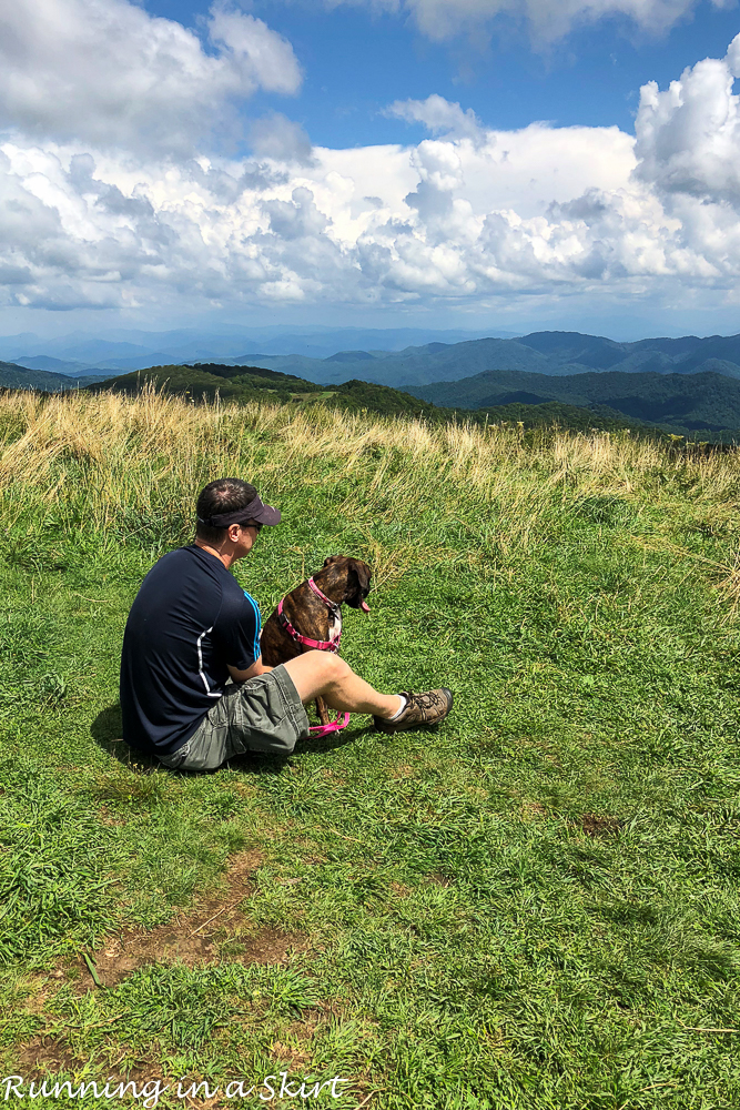
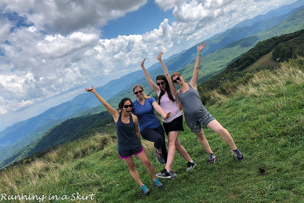
My girlfriends and I used the opportunity for some photo ops!
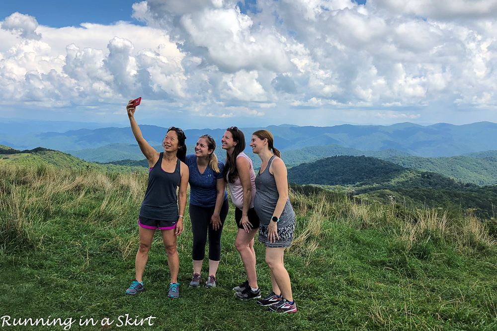
The four of us have been friends since High School collectively.
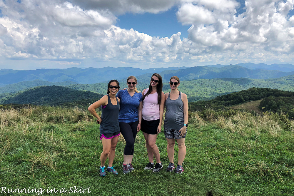
And I've known Rebecca on my right since preschool and Sarah on my left since 3rd grade. It's so hard for all four of us to get together these days, so spending this time together before the two babies arrived was magical.
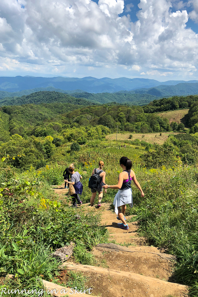
After taking in the views at the top we decided to complete the loop back down the mountain.
This path was more challenging with some steep steps, but the spectacular views were worth it. If you are going with someone who is more physically challenged I would go back to the left and take the small easy path back down to avoid this area though.
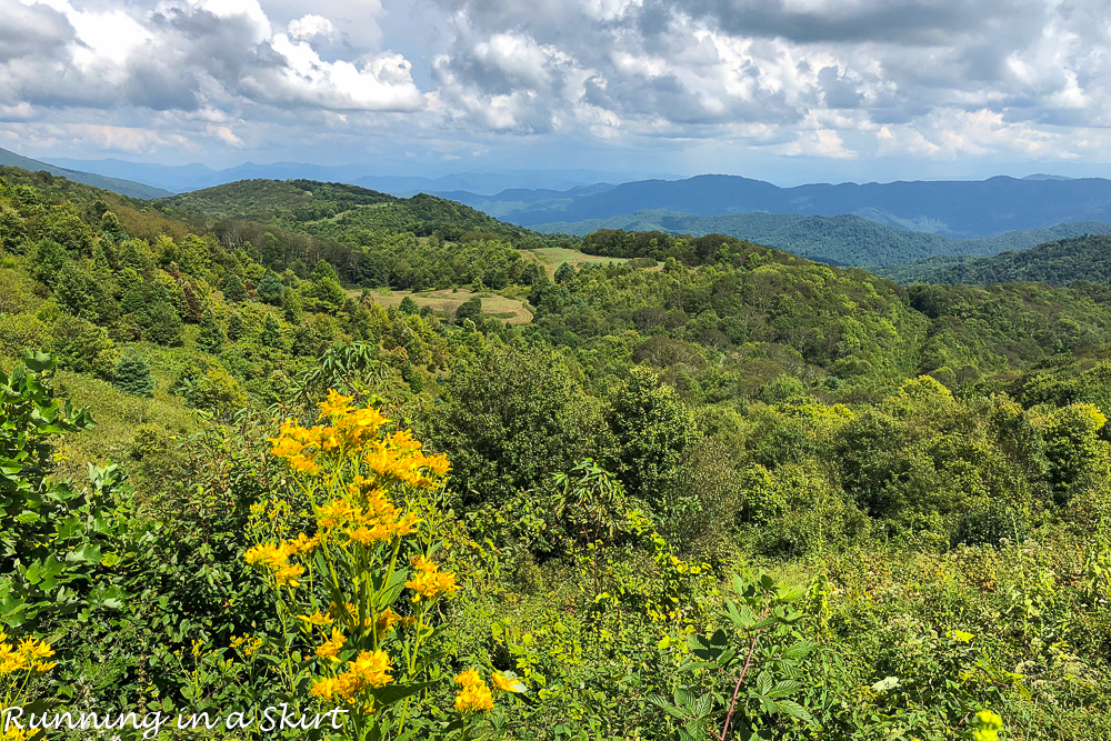
The mountains were absolutely perfect that day!
The rest of the winding path evened out and we had a nice walk back to the car. This hike was perfect for our bigger group with varying physical abilities.
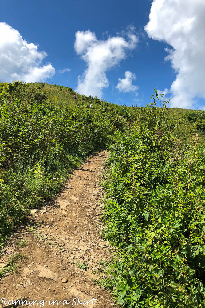
This easy, short Max Patch hike is perfect especially if you combine it with visiting Hot Springs! Bring some food, drinks and soak in the gorgeous mountain views. I had such a nice afternoon soaking in the sun with my lifelong friends.
Directions to Max Patch Hike
From I-40 and Asheville follow I-40 West about 40 miles to Harmon's Den.... exit 7. Take a right on Cold Springs Road. From there the road quickly turns to gravel. The road is well-graded and climbs steadily for a very long 6.2 miles to SR-1182 (Max Patch Road). Turn left and drive 1.5 miles to the Max Patch parking area on the right.
If you are looking for other hikes in Western North Carolina near Asheville check out my hiking page!
Pin for later!

Your turn!
Have you been to Max Patch?


Lisa Ballantyne says
I am somewhat physically challenged but I have been to Max Patch many times with my husband, and I have to say that the view at the top is amazing! If you and your friend could to it pregnant, and I could handle it with diabetic feet and legs and shaky balance, "anybody" could do it!
Maureen @ Maureen Gets Real says
That hike looks beautiful! We're trying to find some more dog friendly hikes to do with Bailey when the weather warms up and I wish we lived near more mountains like you do. The pictures are unreal!